Kiandra to Kosciusko, the first crossing, 1927
Kiandra to Kosciuszko
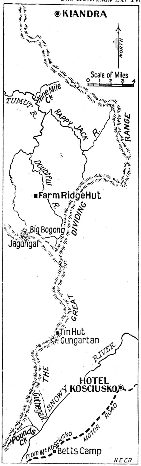
The small town of Kiandra and Mt Kosciuszko are the northern and southern extremities of the Main Range, a subdivision of the Great Dividing Range, which holds most of the snow in NSW. One of our great snow pioneers, Sir Herbert Schlink, had long held the ambition to ski from Kiandra to Mt Kosciuszko.
Kiandra to Kosciuszko
The small town of Kiandra and Mt Kosciuszko are the northern and southern extremities of the Main Range, a subdivision of the Great Dividing Range, which holds most of the snow in NSW. One of our great snow pioneers, Sir Herbert Schlink, had long held the ambition to ski from Kiandra to Mt Kosciuszko.
The Schlink party
Schlink and his party of Ski Club of Australia members achieved this ambition in 1927. The country between Kiandra and Mt Kosciuszko is somewhat flat and undulating and devoid of many outstanding features, which makes navigation difficult. Thus, Schlink and his colleagues spent a number of winters and summers reconnoitering the route before actually attempting it. The photo shows four members of the successful 1927 expedition L-R; Dr Eric Fisher, Dr Herbert Schlink, Dr. John Laidley and Bill Gordon. Bill Hughes, of Kiandra, joined the expedition before it set off.
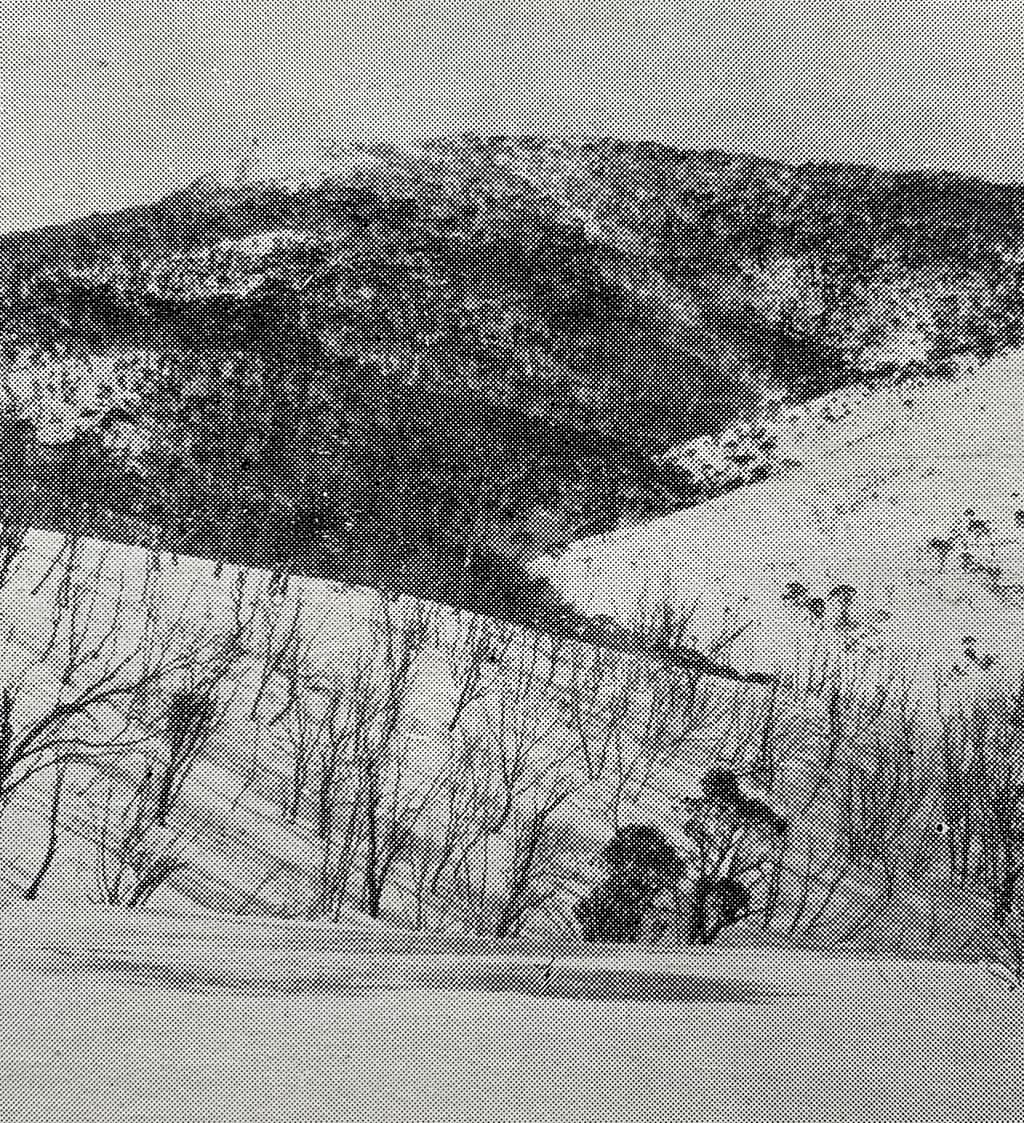
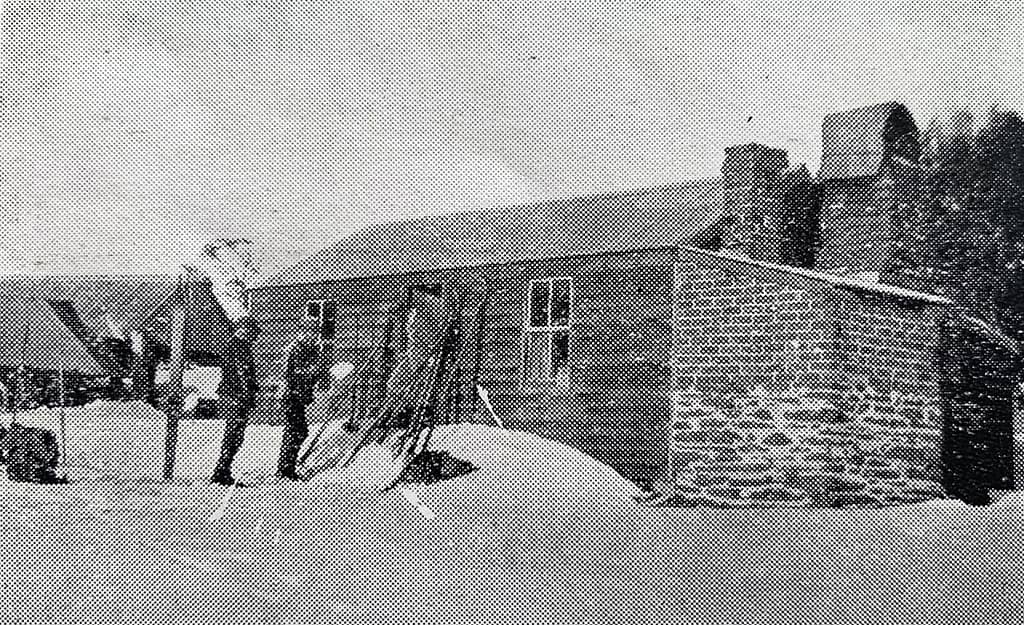
Milkman's Flat
The group left Kiandra at 8.30 am on 28 July, 1927, climbed Township Hill and proceeded across Milkman’s Flat, 4 miles from Kiandra, towards Nine Mile Hut. The photo shows the group crossing Milkman’s Flat.

Milkman's Flat
The group left Kiandra at 8.30 am on 28 July, 1927, climbed Township Hill and proceeded across Milkman’s Flat, 4 miles from Kiandra, towards Nine Mile Hut. The photo shows the group crossing Milkman’s Flat.
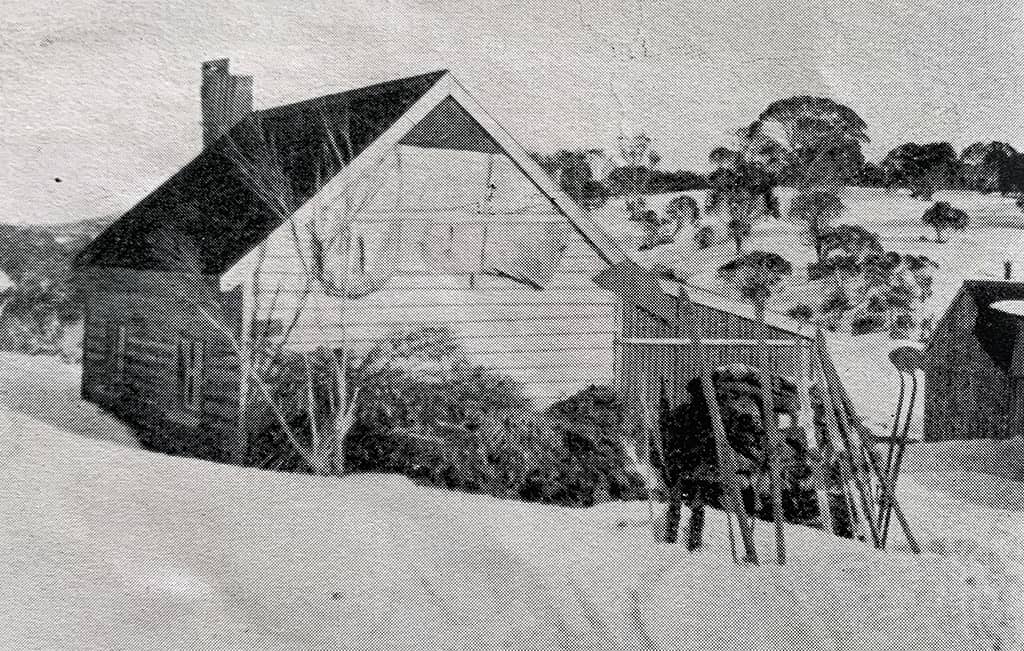
Nine Mile Hut
After crossing Milkman’s Flat they passed Nine Mile Hut
Nine Mile Hut
After crossing Milkman’s Flat they passed Nine Mile Hut
Tabletop Mountain
After passing Nine Mile Hut, they passed Tabletop Mountain and then headed to Temperance Creek, 12 miles from Kiandra, where they had lunch. They then crossed the creek and ascended the steep, snowless northern side of Bolton’s Hill. All agreed that it was the steepest hill they had ever climbed. By taking this short route, they cut out the whole of the Happy Jack Valley. After some magnificent runs they crossed Mulligan’s Creek and then some undulating country brought them to the steep banks of the Happy Jack River.
Happy Jacks River.
Descending the banks of Happy Jacks River was difficult. They were forced to take off their skis and climb down amongst rough boulders. During the descent Schlink lost a large piece of the sole of his left boot which ruined his downhill for the rest of the journey as he found it difficult to steer properly.
Happy Jacks River was turbulent and waist deep so they had to remove their clothing before crossing it.
Farm Ridge Hut
After Happy Jacks River they had a steady climb past Boobee Hut and along the valley of an upper branch of Happy Jacks River before reaching Doubtful Gap. Then followed a lovely run down to the Doubtful River, crossing the river and a slow climb up a steep valley to Farm Ridge Hut where they spent the first night.
The run from Kiandra to Farm Ridge hut was 25 miles and had taken 10.5 hrs.
Tin Hut
Day two began with the group following the eastern side of the Great Diving Range past the subsidiary ridge which leads towards Mt Jagungal and on to Tin Hut at the foot of Mt Gungartan, which they reached at 1.00 pm.
Tin Hut
Day two began with the group following the eastern side of the Great Diving Range past the subsidiary ridge which leads towards Mt Jagungal and on to Tin Hut at the foot of Mt Gungartan, which they reached at 1.00 pm.
Pounds Creek Hut
After one hour’s lunch, they discarded their sleeping bags and all extra weight in the form of food etc and made the final dash for Pounds Creek Hut. From Tin Hut they climbed Mt Gungartan and were rewarded by a two mile run down to Whites River. Next they climbed the Granite Peaks and passed over Consett Stephen Pass only to be enveloped in a white-out. Progressing very slowly and carefully they passed Mt Tate and got to the top of the Guthega River valley. After many falls and tumbles they reached the Snowy River and were able to cross on a snow bridge. 400 metres upstream was Pound’s Creek Hut, where, after wolfing down their dinner they slept until 11.00 am the following day. The second day they had travelled 35 miles in 12.5 hrs.
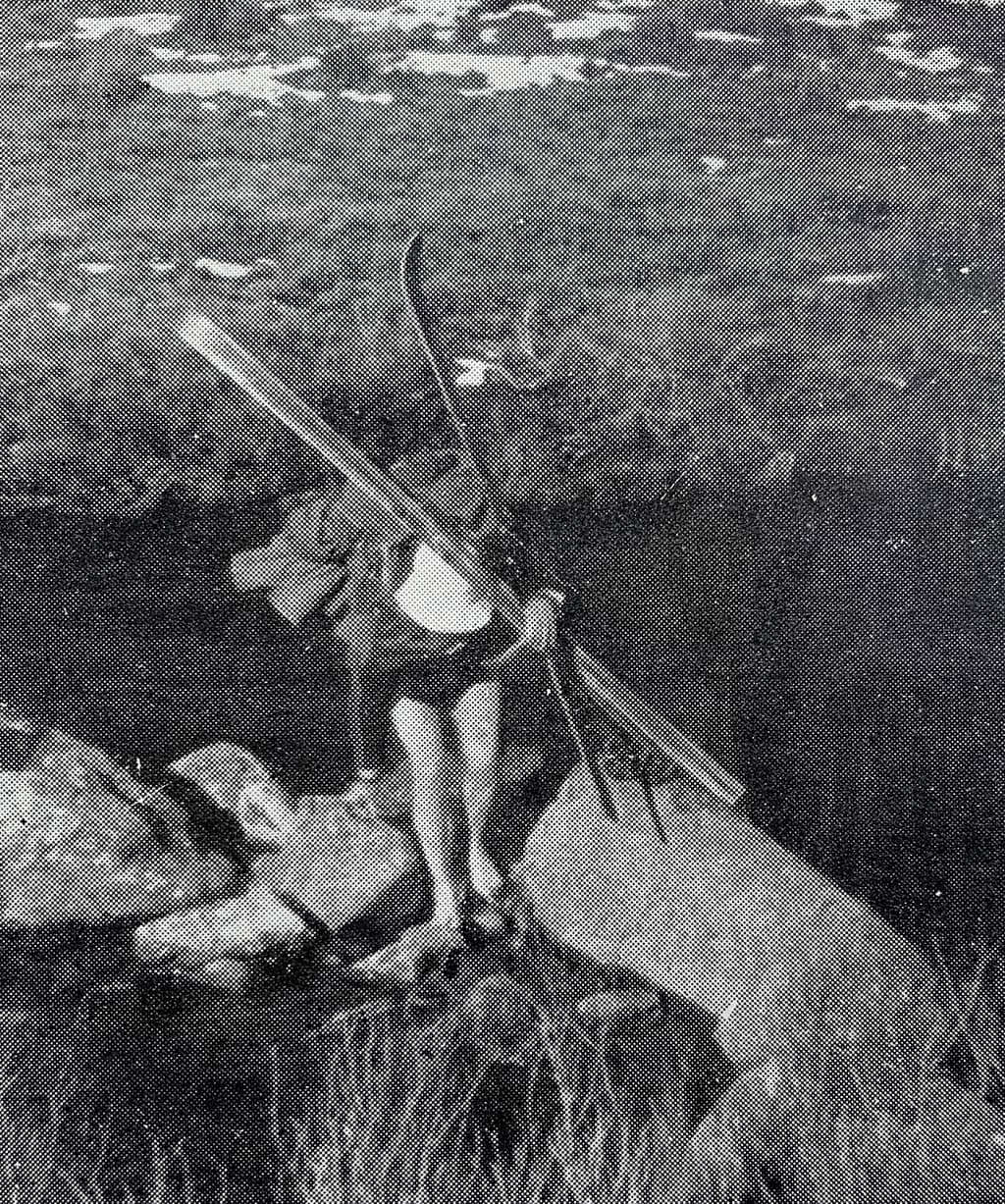
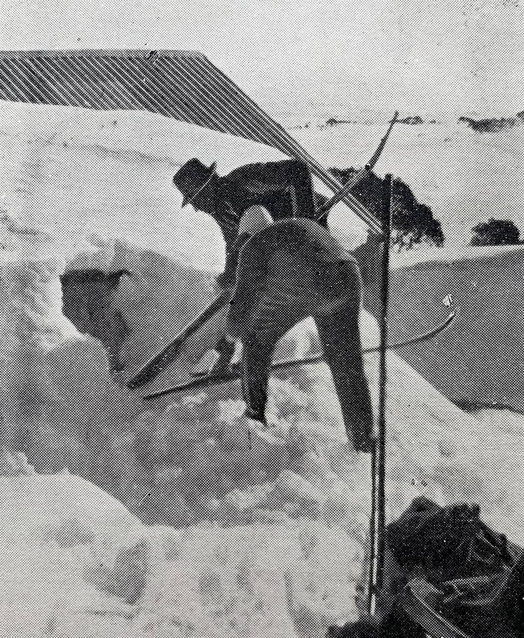
Pipers Creek
The last part of the trip was 15 miles over well known country back to the Hotel Kosciusko with a stop at Betts Camp for lunch. The photo shows the group skiing down Pipers Valley not far from the Hotel.

Pipers Creek
The last part of the trip was 15 miles over well known country back to the Hotel Kosciusko with a stop at Betts Camp for lunch. The photo shows the group skiing down Pipers Valley not far from the Hotel.
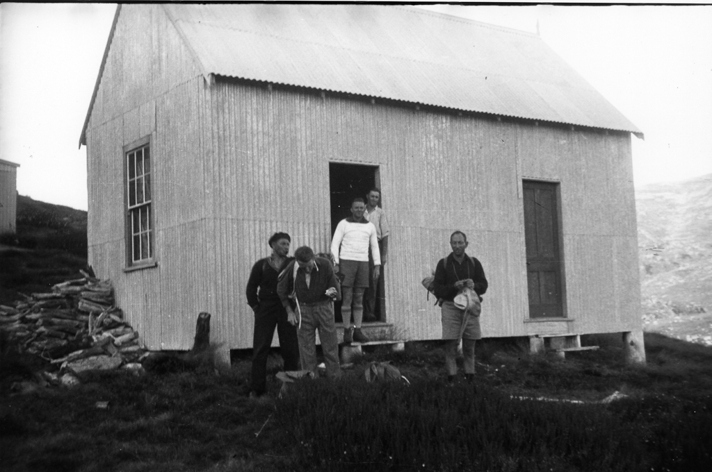
Mission complete
Finally back at the Hotel Kosciusko, mission complete. Photo shows L-R: Dr Herbert Schlink, Bill Hughes, Bill Gordon, Dr John Laidley, Dr Eric Fisher.

Mission complete
Finally back at the Hotel Kosciusko, mission complete. Photo shows L-R: Dr Herbert Schlink, Bill Hughes, Bill Gordon, Dr John Laidley, Dr Eric Fisher.